By John Tracy
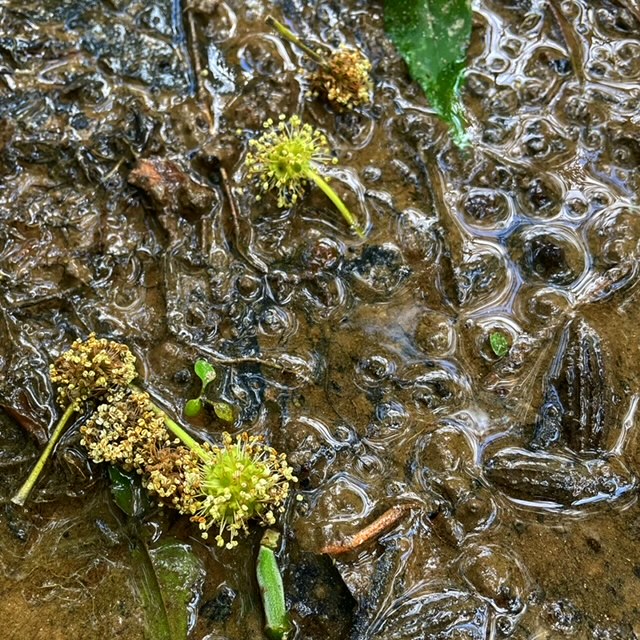
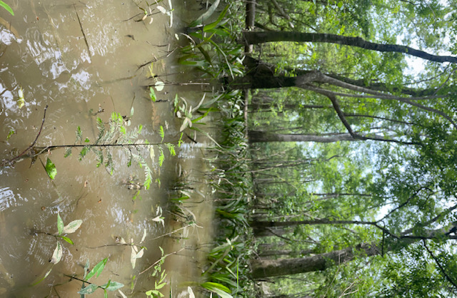
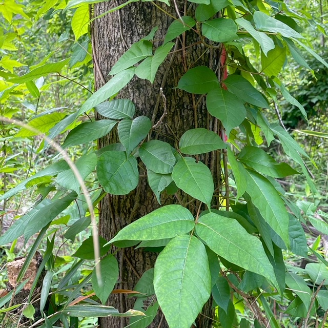
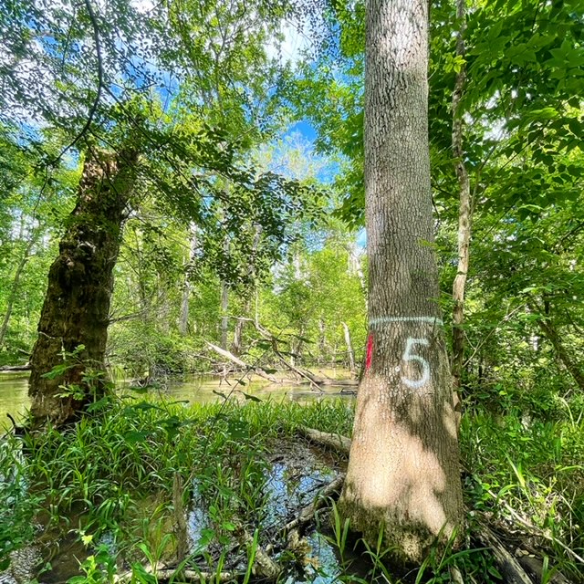
May 11, 2021–Last week, David Morse joined me for two days of field work. We continued the inventory of overstory* and midstory trees within the vegetation monitoring plots along Spiders cut. The river stage was fairly high, around 12.5ft at the Blountstown gauge, so we were walking across mostly flooded terrain where hummock** tops and banks were the only dry ground. With spring in full swing, the forests were lush with new leaves and there was a healthy blanket of poison ivy covering the area that David prepared for much better than myself. Tupelo blossoms appeared abundant. They were mature and were dropping from the trees, spreading over the water and landscape during the past past week. Every tree species was identified and measured in each plot to assess height, diameter, and level of decay or defect. When water levels decrease, we’ll be able to measure understory and ground vegetation. These are all pre-restoration base line forest density estimates that we will remeasure to assess change post-restoration treatment. 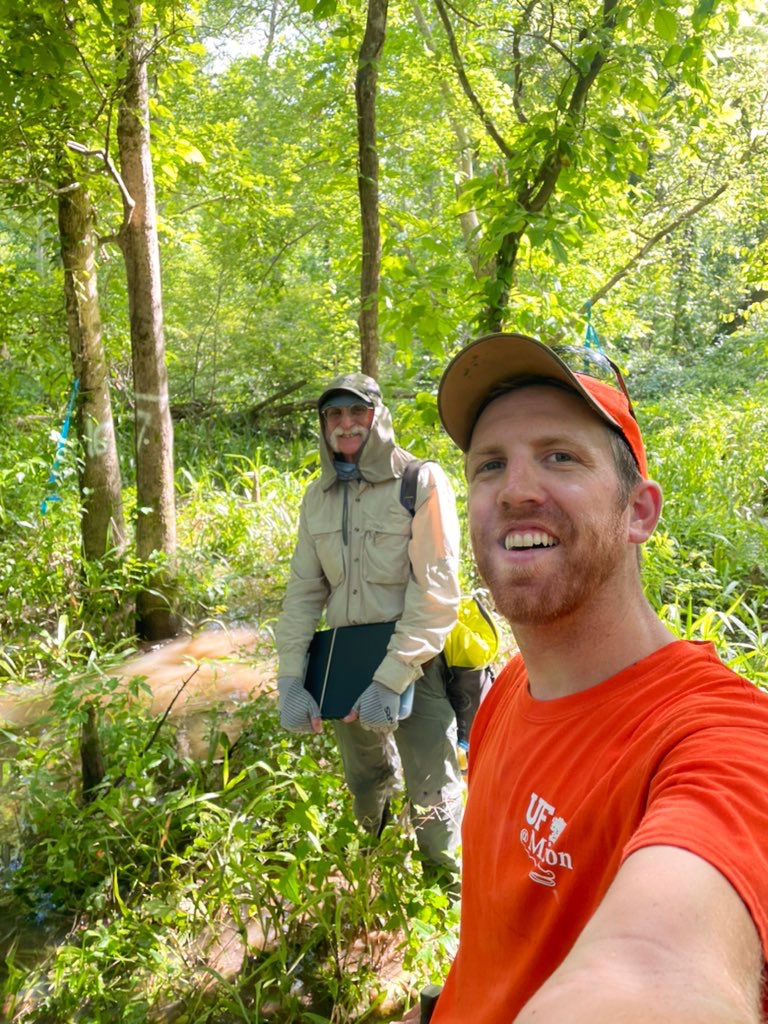
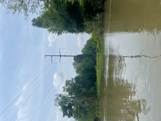
On Friday April 30th, I took a reconnaissance trip to find a forest monitoring transect*** established by retired USGS scientist, Helen Light in the 1970s known as the “Brickyard transect” that parallels a transmission power line across the floodplain. This area is several miles south of Spiders Cut, but likely will be affected by slough restoration efforts. I wanted to visit the transect to assess feasibility of remeasuring forest composition in that area and comparing the data to that collected by Helen Light and Melanie Darst in the 1970’s and early 2000’s. The comparison will build upon previous research which suggests that densities of swamp tree species such as water tupelo, Ogeechee tupelo, and pop ash in the area have declined since the 1970s. There was 2-3 ft of water covering the site when I visited, but I will return later in the summer to begin measurements.
John Tracy, MS is a Ph.D. student and Graduate Assistant at the University of Florida working with Dr. Ajay Sharma. Here’s a previous blog from John.
By David Morse
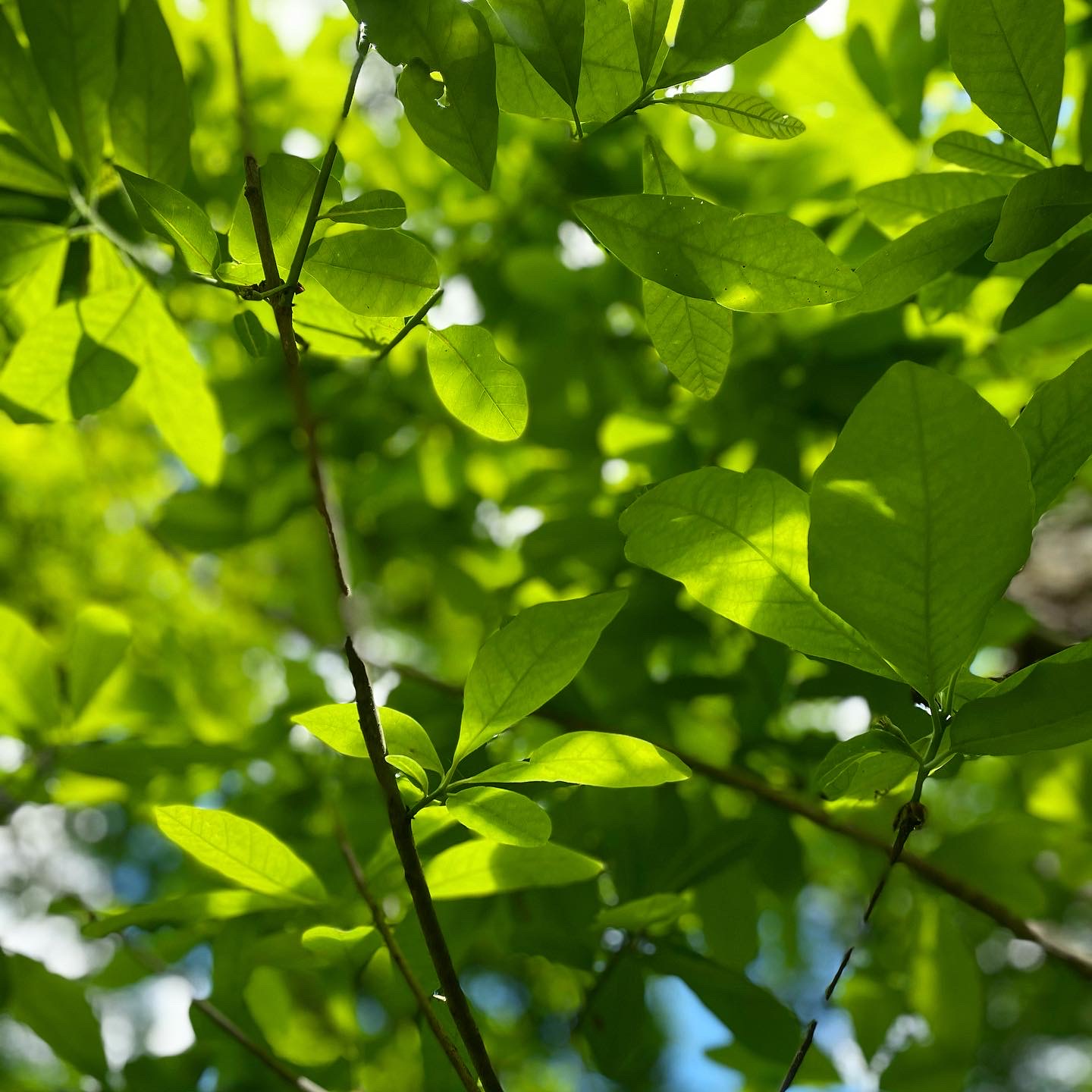
 The usual characters are all there in the floodplain: snakes, biting insects, mud, mugginess and lots of wading. But, the poison ivy was the most intimidating. Patches and patches of dense poison ivy. The floodplain is a vast kaleidoscope of leafy green, but the poison ivy was the environmental hazard. It’s easy to feel like one is inside a super-organism with the towering trunks of trees, vines draping their way aloft, brown water in rivulets flowing everywhere, connecting to broader channels on their way to finding the Apalachicola River then the Gulf.
The floodplain and river are in this sinuous relationship of each defining the other. Where one stand is only this small cove of green in a much greater forested wetland. Looking up there is too much blue sky. This is the harsher reality. Hurricane Michael has so mauled the overhead canopy. It knocked down so many trees that overstory is no longer contiguous. Where tree canopies should interlock in a tight fabric of green, gaps are dominant everywhere. The deeper truth is this level of disturbance has a destructive edge linked to climate change. The intensity of Hurricane Michael caused considerable damage. Forests recover given time. John’s research will help track and document that change.
David Morse is a retired forester and long-time Apalachicola Riverkeeper volunteer. A skilled outdoor enthusiast, David shares his many talents with AR programs and others.
Glossary
*overstory: the layer of foliage in a forest canopy
**hummock:a small knoll or mound above ground.
***transect: a path along which occurrences of the objects of study are counted and recorded