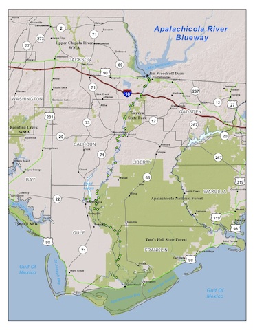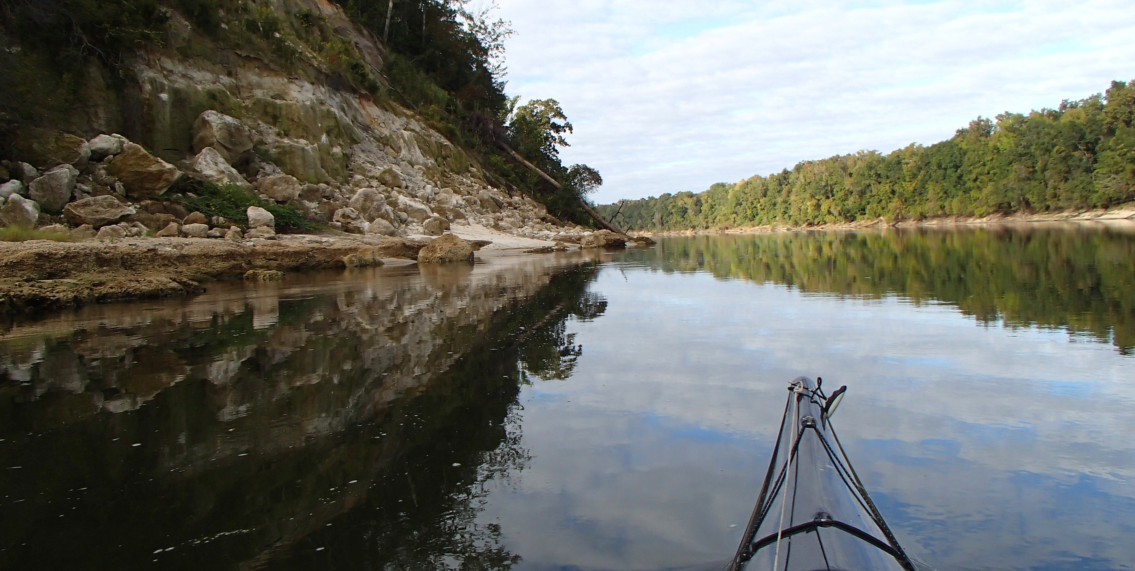
The Apalachicola River flows 107 miles from the Jim Woodruff Dam to its mouth under the John Gorrie Bridge in Apalachicola. The scenery is magnificent, and the river, sloughs, coves, and bluffs are delightful to explore. Numerous meandering narrow, twisting creeks flow through vast tracts of national forest. Kayaks and canoes are ideal ways to experience the river and the area’s natural habitat, and many of the best places are accessible only by paddling. In order to encourage safe and enjoyable paddling on and around the river (and to keep paddlers from getting lost), the Apalachicola River Blueway was created and mapped. The Apalachicola River Blueway has been designated a State Paddling Trail by the Florida Department of Environmental Protection and a National Recreation Trail by the U.S. Department of Interior.
Use the Blueway data book and maps to plan your Apalachicola River adventure. Also, check out the many side trails on our Apalachicola Basin Trail Guide page.
- Lake Seminole to Blue Spring Run
- Blue Spring Run to Alum Bluff
- Alum Bluff to Estiffanulga Region
- Estiffanulga Region to Dead Lakes Park
- Dead Lakes Park to Owl Creek
- Owl Creek to Humphreys Slough
- Humphreys Slough to Apalachicola
Additional downloads:
Trail overview and data book combined with maps
High water paddling information
History of the Apalachicola Blueway