By Georgia Ackerman
Have you ever traveled the Apalachicola River from Wewahitchka southward? Over Mother’s Day weekend, I enlisted my family to help with a visual survey near Sand Mountain (River Mile 36*). It’s tradition for us to spend the day playing outdoors and take a picnic. Like many people during this pandemic, we’ve limited our “non-essential” social interactions while working remotely–all of us spending more time on phones and in front of screens than typical. Opting for a day of boating, we welcomed the chance to be “unplugged” and on the water. Of course, I’m also grateful for this family of Riverkeeper volunteers, who photo documented several albums of images (and packed the perfect picnic).
Launching at Estiffanulga in Liberty County (River Mile 63), we headed south to Wewahitchka. As an aside, the park has restrooms and picnic pavilion. This is typically a quiet stretch of river. We passed only a few boats on our trip. In random wildlife sightings, a raccoon was spotted crossing the river successfully. Eagles, including juveniles and other raptors were also seen throughout the day.
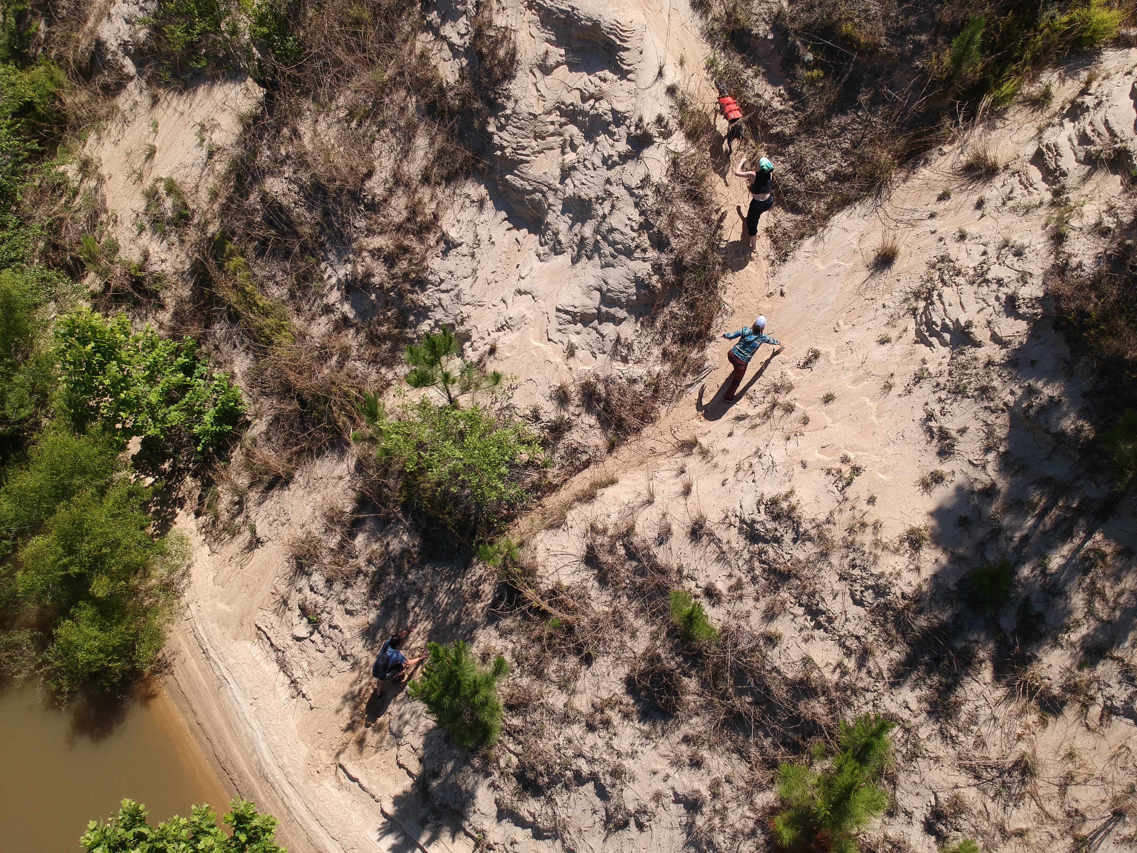
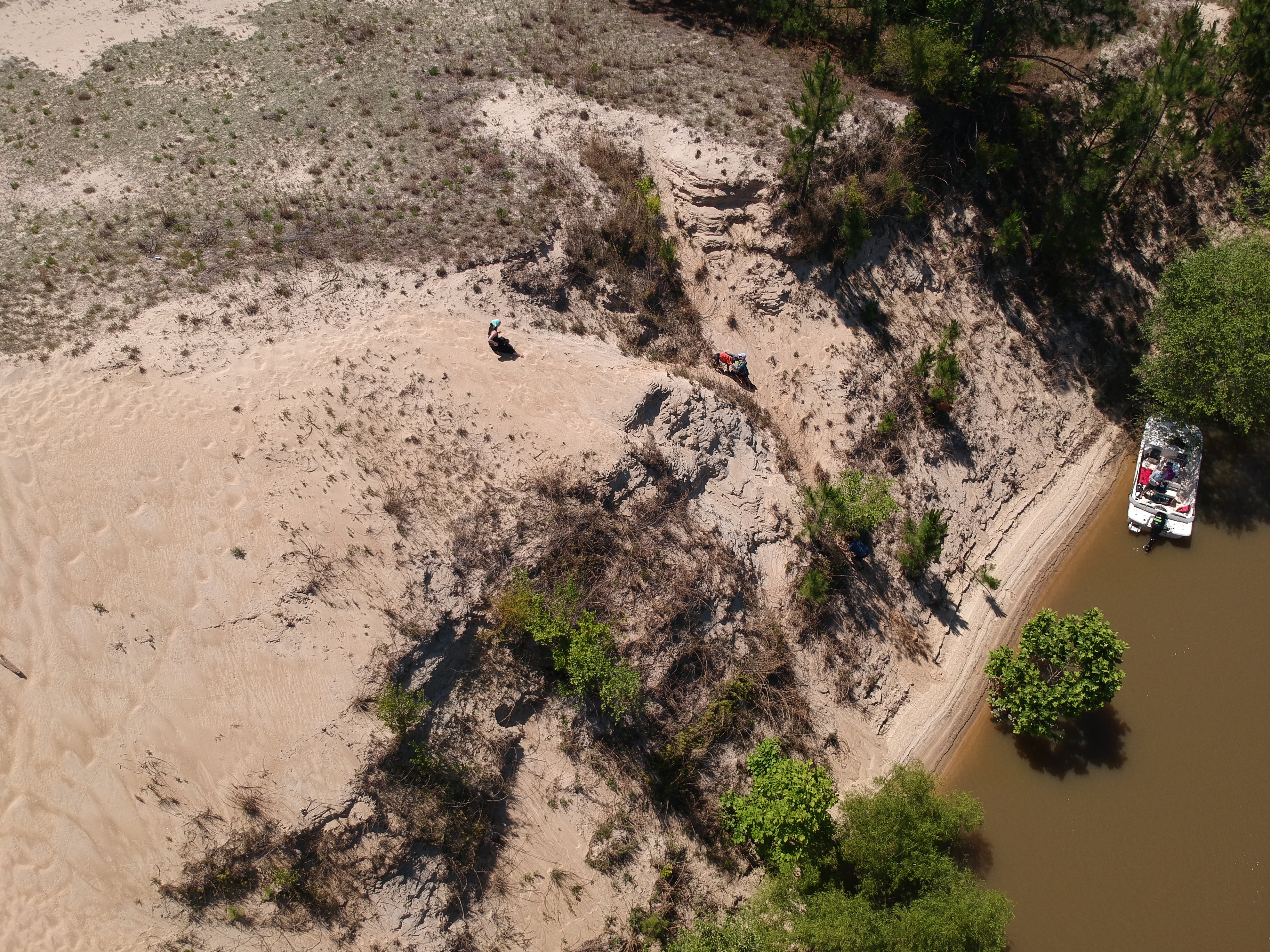
Sand Mountain is manmade. This “mountain,” was created during the decades of channel dredging by the Army Corps of Engineers. Simply put, it’s a ginormous pile of sediment heaped on the side of the Apalachicola River. Sadly, a significant slough system was cut off from the main river channel by the dredge spoil site. From atop of the pile, a close study of the tree line reveals the width and blockage it has caused.
Sloughs, (pronounced slews) are swamps or shallow lake systems, usually a backwater to a larger body of water–such as the Apalachicola River. They are like our bodies’ veins and arteries circulating water and essential nutrients through the connected system. Sloughs also provide important spawning areas for aquatic animals. There are about 400 miles of sloughs (often called tributaries and distributaries) connected to the 107 mile Apalachicola River.
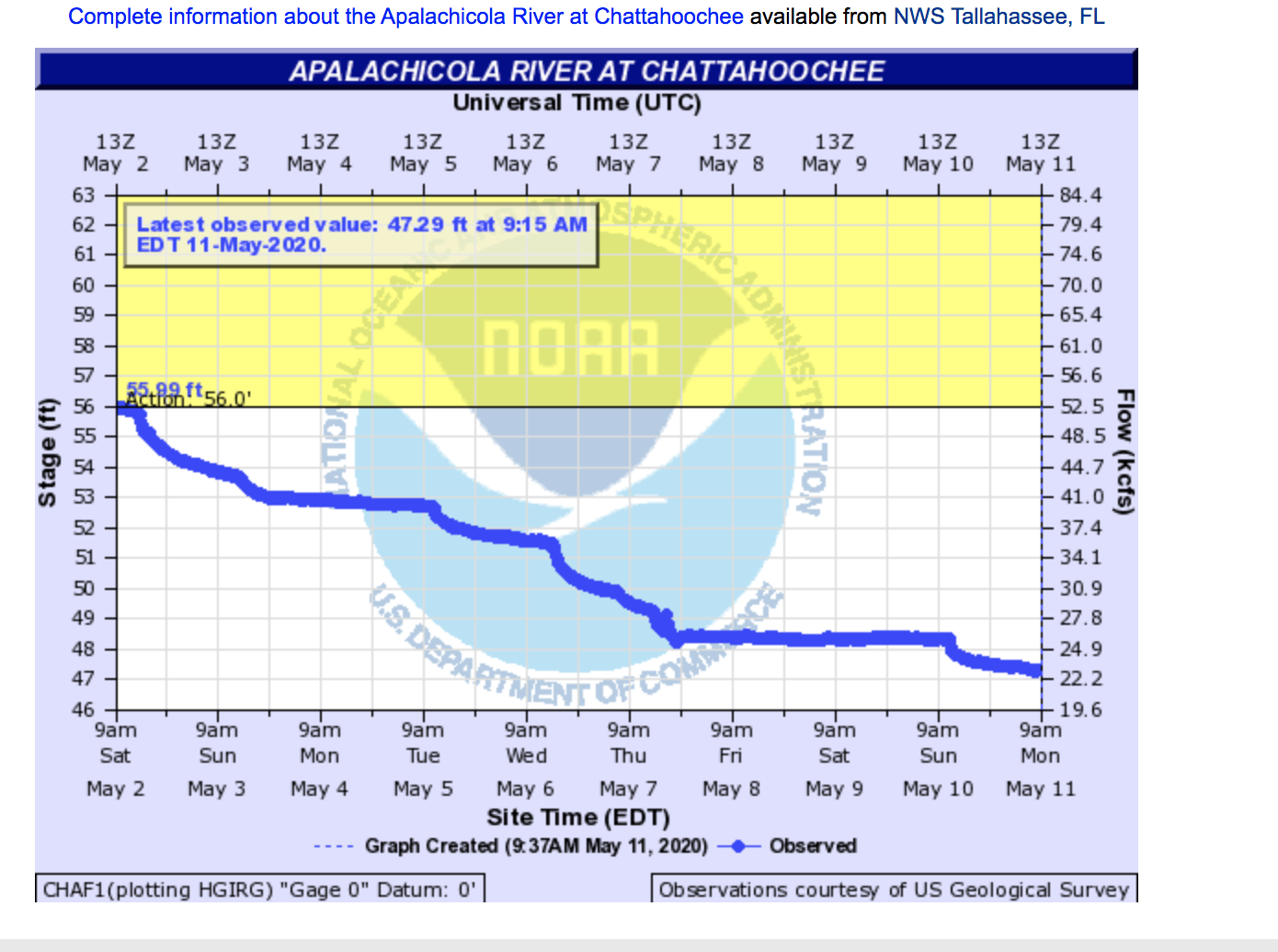
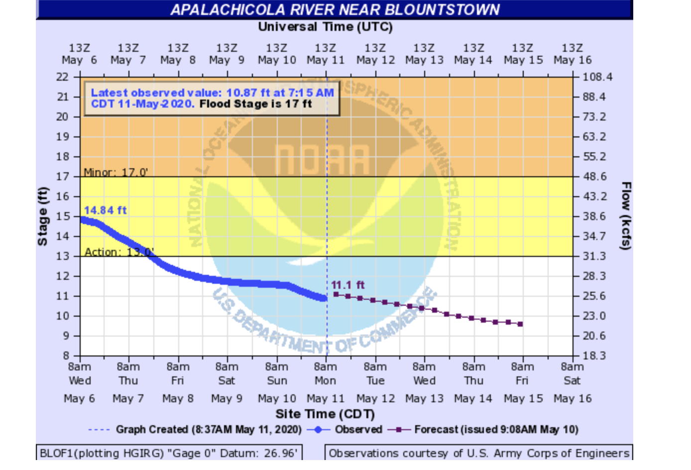
River flows on our trip day, May 9. (which evolved into a pretty wonderful Mother’s Day sandbar family camping trip): 48.37 ft/ 26 kcfs (Chattahoochee), 11.72ft kcfs (Blountstown) , 21.65ft/26.6 kcfs (Wewa)–all data at Noon, 5/9/2020 USGS
Lastly, Happy Belated Mother’s Day to all the moms out there! Hoping you and yours are healthy and safe. We appreciate your support.
Here’s the Visual Survey photo album.
Here’s the Trail Data Book with maps.
Georgia Ackerman is Riverkeeper and Executive Director at Apalachicola Riverkeeper. She can be reached at [email protected] or 850-321-6262. 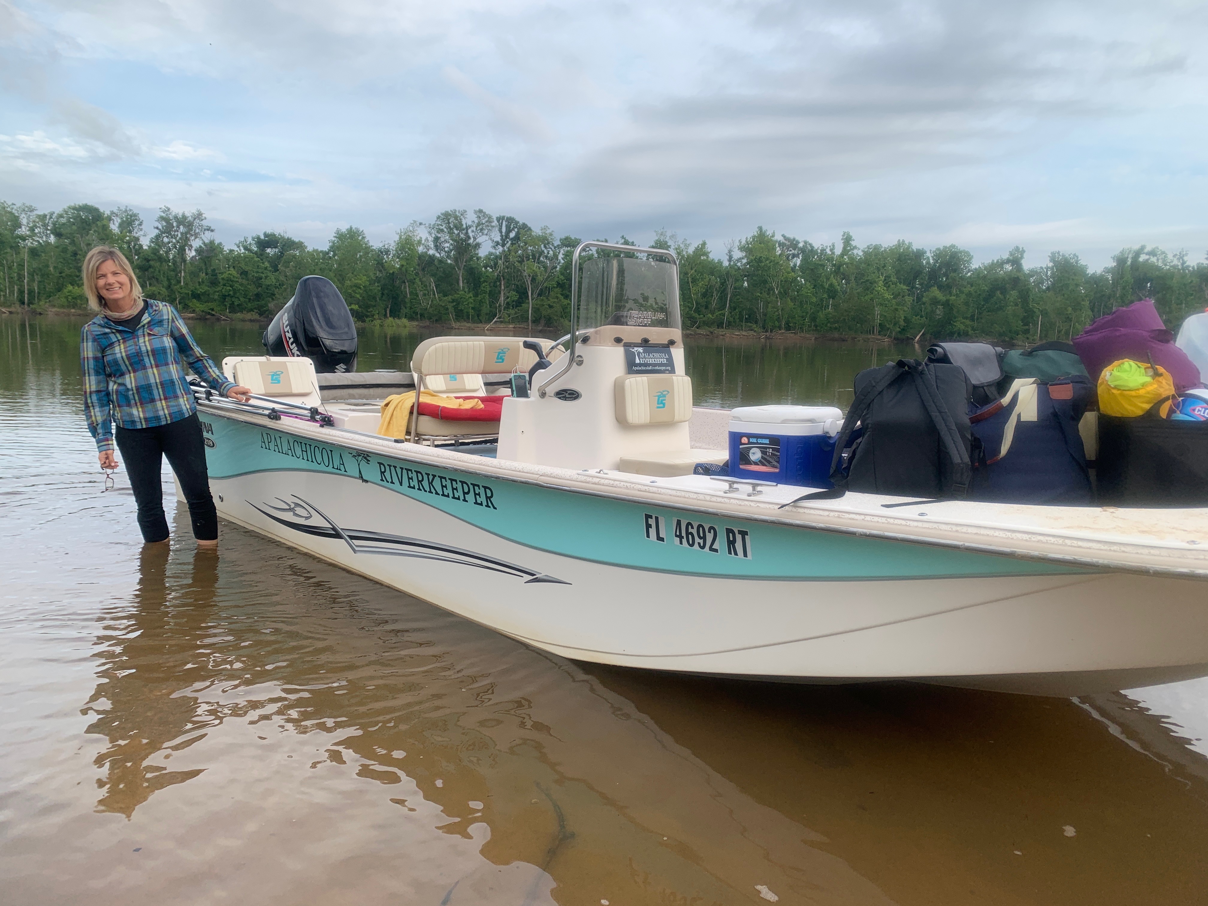
*River Mile=distance from Apalachicola Bay, where the River and Bay meet