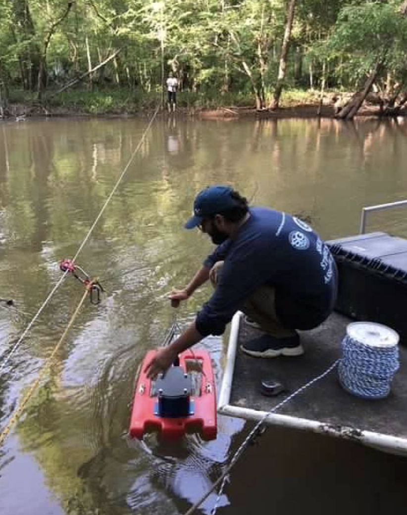
June 16, 2022–Lidar bathymetric surveys continued this spring as a component of Apalachicola Riverkeeper multiyear slough restoration project. This type of survey measures the depth of a water body and maps its underwater features. As river levels dropped enough, we were able to visit several sloughs connected to the Chipola and Apalachicola Rivers in late spring to do this. Kayaks are frequently used a the sloughs are low and sometimes blocked with tree debris.
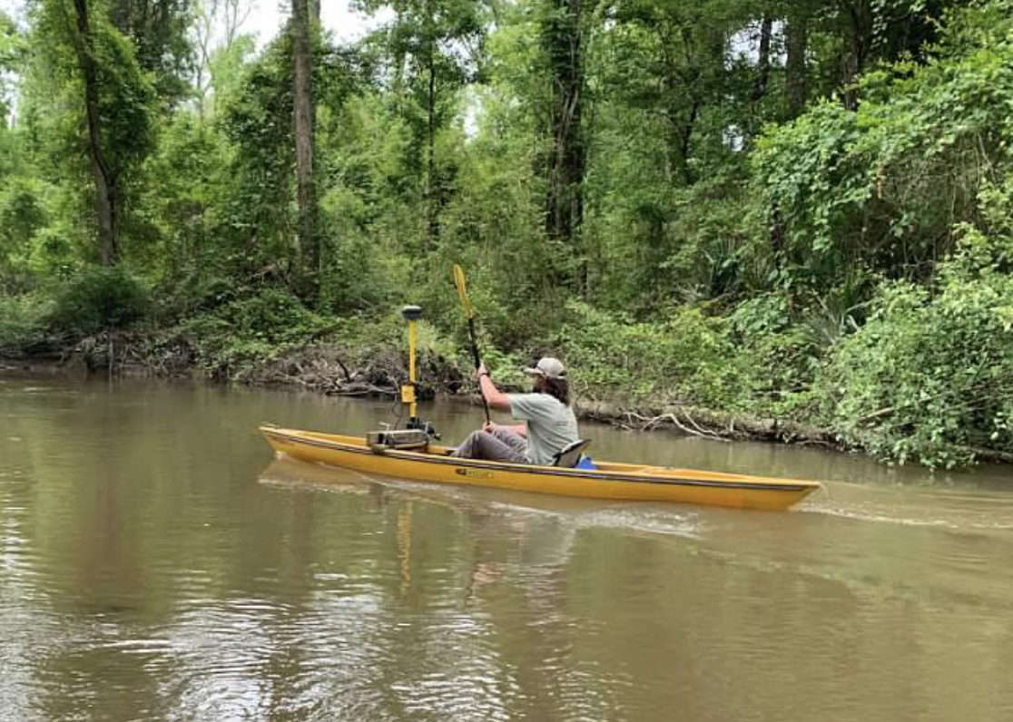
Sites visited included Kennedy Creek, Brushy Creek, Corley Slough (obstructed by Sand Mountain), Swift Slough and Pete’s Creek. We did this to begin characterizing these larger systems and building a framework for potential future restoration sites. Here are some photos of the April survey work.
Water quality monitoring continues. This is a on-going monthly activity. In late 2020, a field team from the University of Florida, along with Apalachicola Riverkeeper collaborators, installed monitoring stations at upper and lower sites in Douglas Slough, Spiders Cut, and the East River. Each of these six stations consists of a pressure transducer to measure and log water level, and additional sensors. The stations measure temperature, electrical conductivity, pH, and dissolved oxygen.
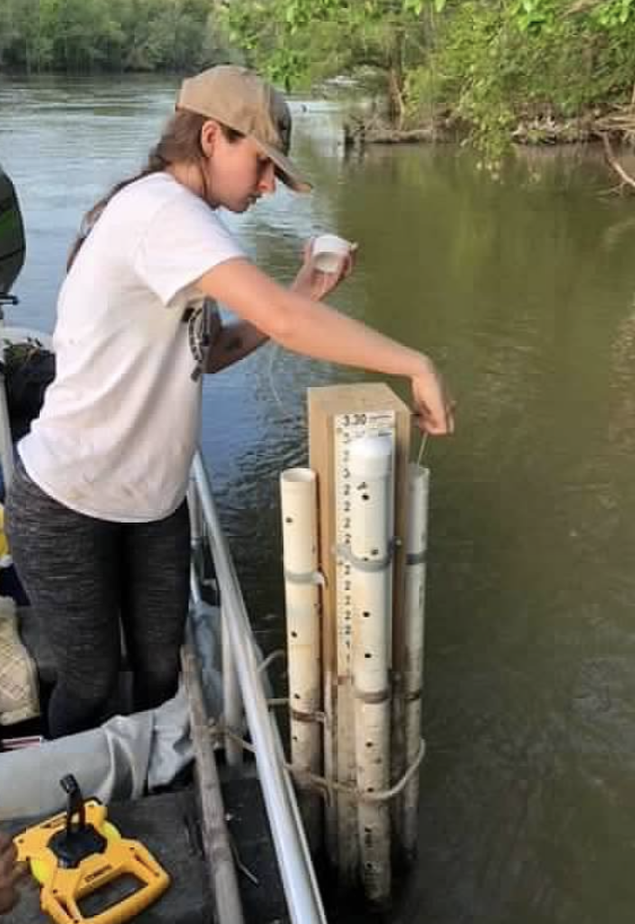
Here are a few photos from April field visit.
The Slough Restoration Project is funded by the National Fish and Wildlife Foundation, Gulf Environmental Benefit Fund.
 Georgia Ackerman is Riverkeeper-Executive Director at Apalachicola Riverkeeper.