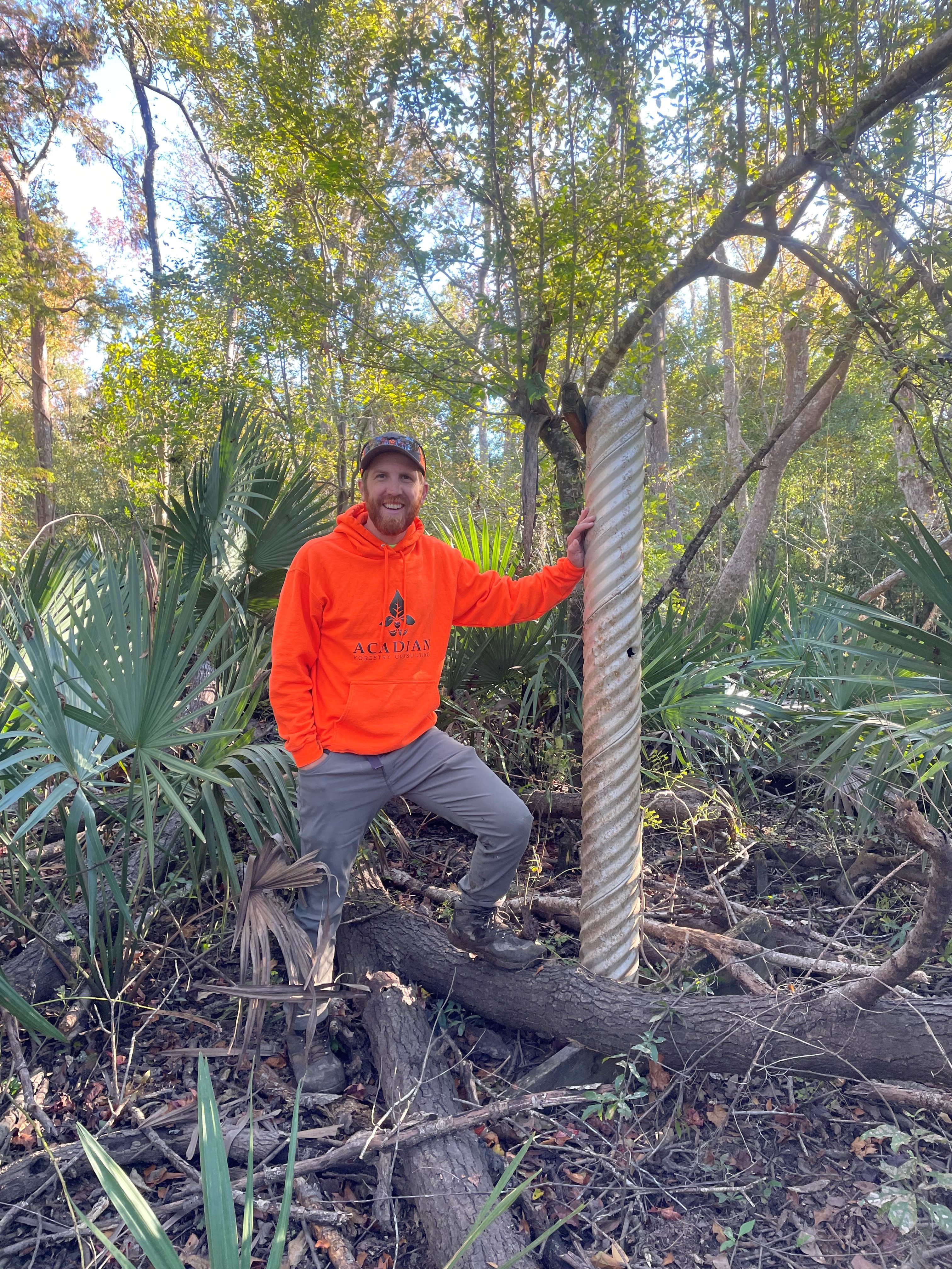
Many of the Slough Restoration Project team members spent a few days in the field together in November. Forester John Tracy and hydrologist Scott Walls shared some notes on the work. Here are some photos.
From John Tracy:
We had a great opportunity to meet members of the slough restoration project team that we normally don’t get to cross paths with in the field. We toured sites and reviewed plans for removal of sand and sediments that impede the flow of East River, Spider’s Cut, and Douglas Slough. It was nice to learn from comments made by all of the disciplines represented in the project including mussel researchers, geomorphologists, engineers, surveyors, and local expertise. 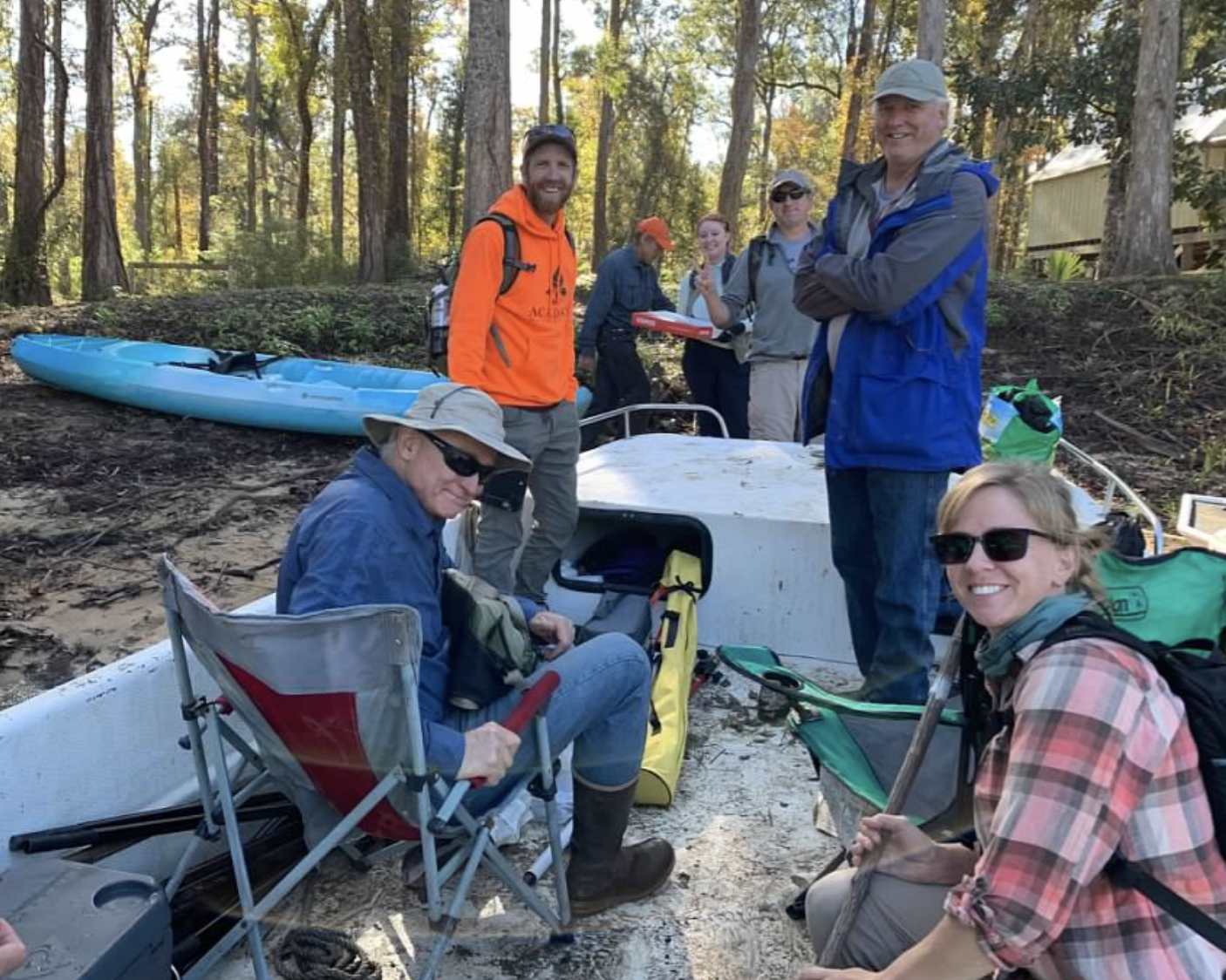
We stayed at a river fish camp owned by Carmen McLemore and family. Mr. McLemore is a retired Gulf County Commissioner. He knows the river and region well. We enjoyed a low-country shrimp boil along with learning more local history and about growing up on the river.
On the final day of our trip, the forest vegetation team was able to continue our survey of under-story woody vegetation and ground wetland vegetation in Douglas Slough. We hope to finish that survey in December and make plans for repeating that survey in spring/early summer when the river comes back down after winter flows.
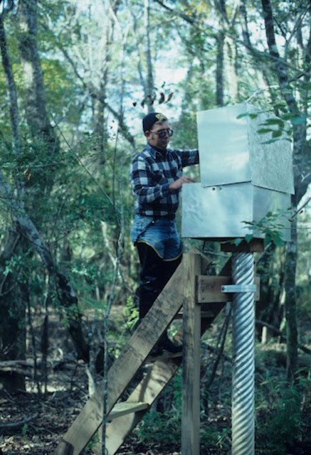
An interesting side note is that we took some time at the end of the first day to run up to an electrical transmission line right-of-way that is on the west side of the Apalachicola River near Sumatra. Just inside the woods on the south side of the right-of-way is the location of the USGS’s “Brickyard” vegetation survey transect that was originally established by Helen Light in the 1970s and re-surveyed multiple times up to the early 2000s. We will be re-surveying the forest vegetation again on that transect in the Spring/Summer of 2022 to assess how forest composition has changed in that area. Upon traversing over the ridge at the river and into the woods, we came upon what remains of a water level gauge installed by the USGS in 1980. The first picture is from when the gauge was installed versus when we took a picture with the gauge in November, 2021. Much time has passed, but we are still here monitoring how the forest is changing and drawing conclusions on how this should impact management of the floodplain.
John E. Tracy is a doctoral student and graduate assistant at the University of Florida, The Sharma Forestry Lab, W. FL Research & Education Center.
From Scott Walls:
Over the last year, we used our 2020 topographic / bathymetric surveys of East River, Spiders Cut, and Douglas Slough to develop engineering plans for anthropogenic sand removal from these sloughs.
In November 2021, after several field trip cancellations due to high water, water levels dropped enough to field check our design cross sections. We visited all three sites with plans in hand to verify if our design cross sections were appropriate. This includes making sure they enhanced geomorphic processes and did not disturb mature valuable tree species, such as cypress and tupelo. Using these “red-lines”, or edits to the plans, our design plans will be updated to finalize construction drawings and calculate sand removal volumes, which will be used for permitting and construction bids.
We also observed the downed tree removal being completed in Douglas Slough
Finally, we completed a topographic survey of a potential disposal site, a FWC owned sand quarry or pit, for sand removed from Spiders Cut.
Scott Walls is a hydrologist and environmental planner. His expertise includes scientific data collection and analysis, planning, design, project implementation, and monitoring.
Our Slough Restoration Project is funded by the National Fish and Wildlife Foundation, Gulf Environmental Benefit Fund.