By Georgia Ackerman
May 1, 2020—A visual survey of the Apalachicola River was conducted today.
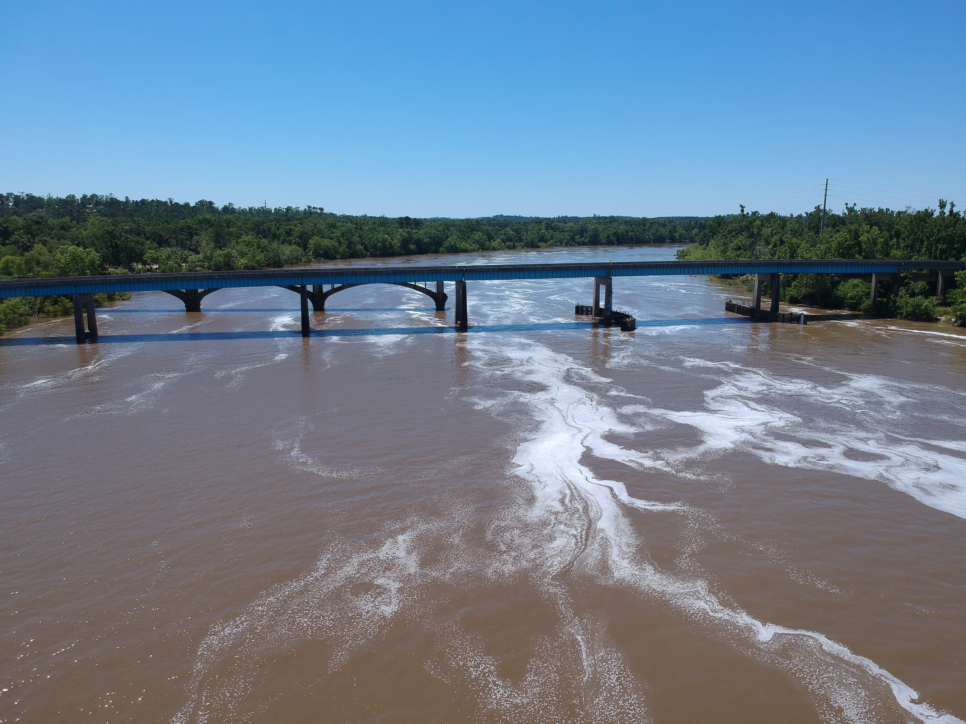
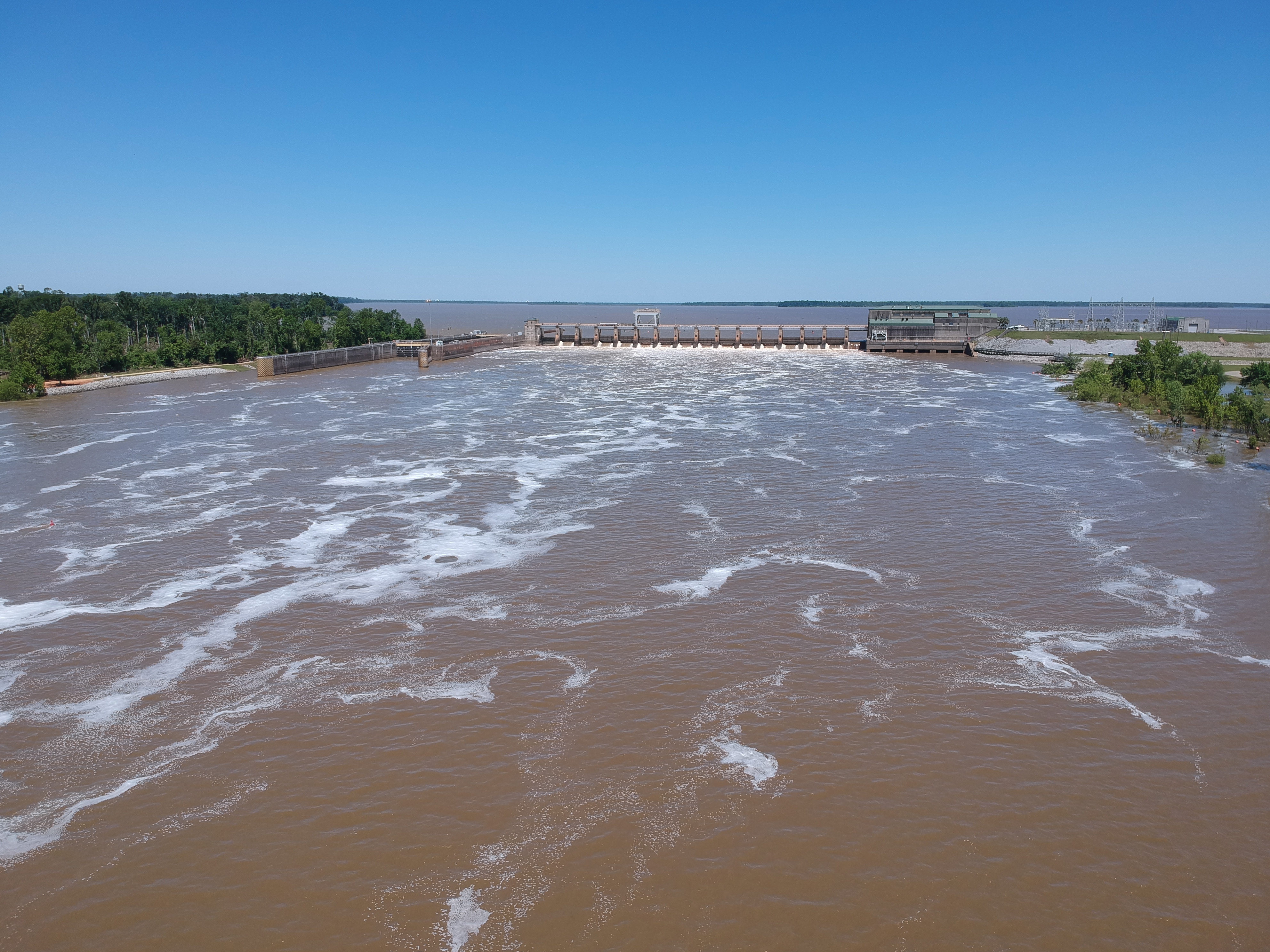
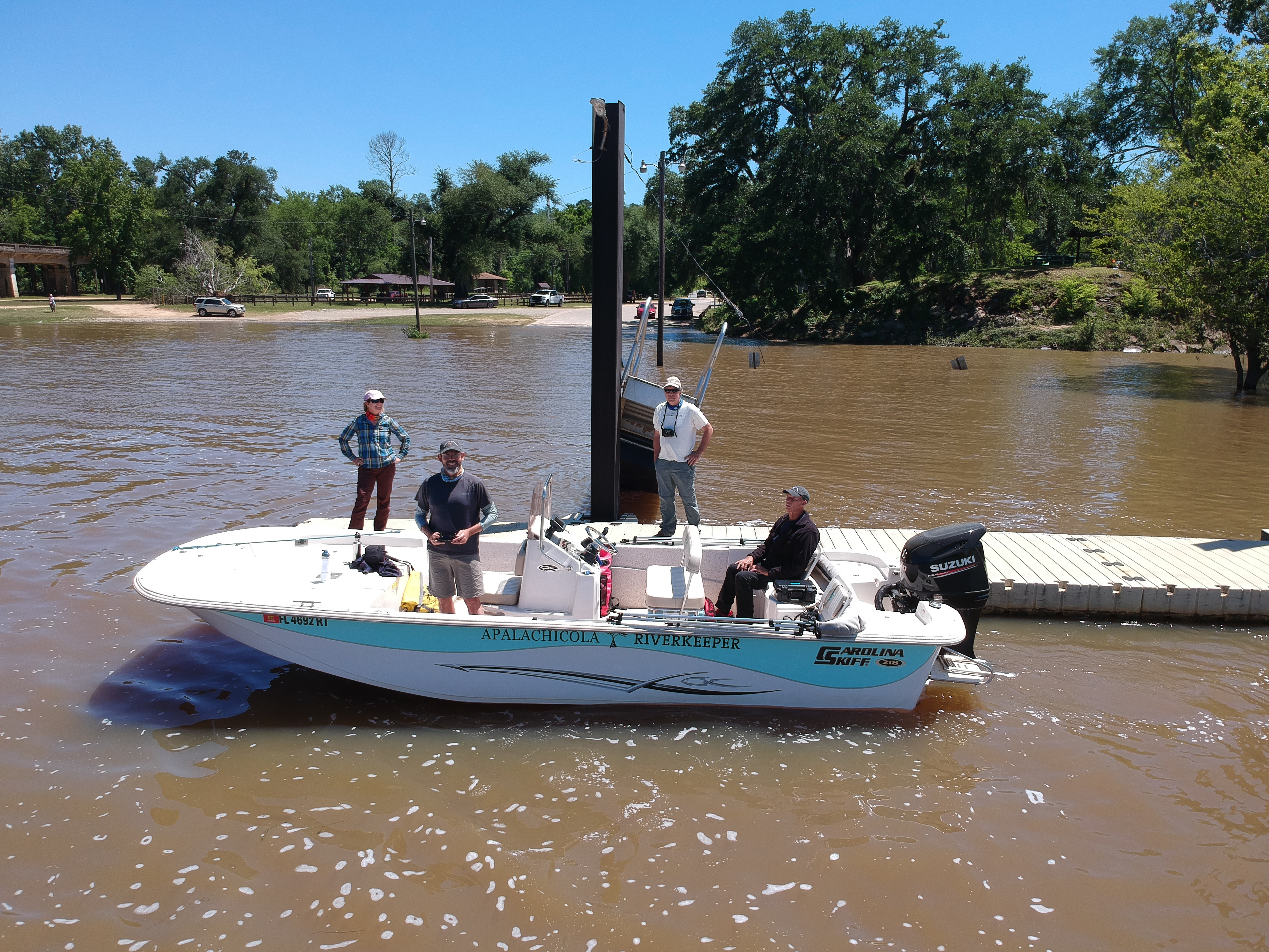
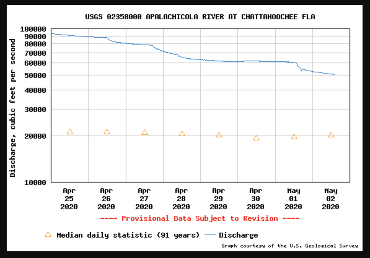
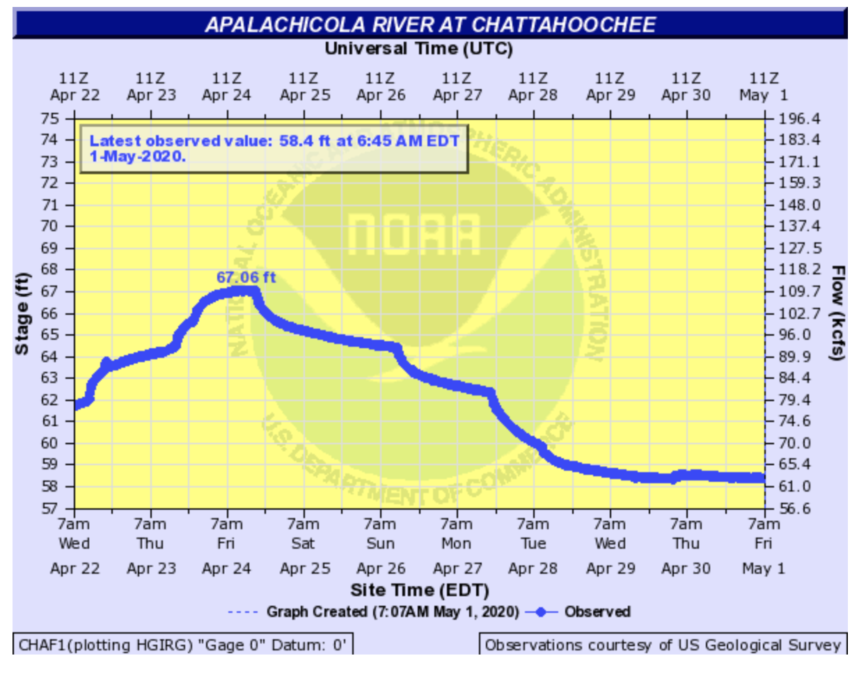
The gauges at Chattahoochee and Blountstown were around 63 kcfs at launching. Wewahitchka gauge was at 37 kcfs and 78 kcfs at Sumatra. Launching at the Bristol ramp, we ran the motorboat north to Chattahoochee then south to Neal Landing in Blountstown. Stops were made at Chattahoochee, Ocheesee Landing, Redd Landing, near Jackson Port, near Scholz Power Plant, Sutton Lake and Neal Landing. Water samples were also collected in several locations as part of our water quality monitoring. Photos and drone images were also taken en route.
 .
. 
Chattahoochee Hopkins park ramp is river mile 105. Neal Landing is at river mile 77. Blueway trail data book here.
The previous visual survey of this stretch of river was conducted on March 6, 2020 with Chattahoochee gauge at 90.4 kcfs, 64.09 feet. Photos here.
Georgia Ackerman is Riverkeeper and Executive Director at Apalachicola Riverkeeper.